The first of Dorian’s outer rain bands scudded off the ocean and into Charleston, South Carolina, where Garden & Gun is headquartered, Wednesday morning. The day was fairly uneventful besides a couple of tropical downpours. In true Charleston fashion, a few of those who finished hurricane prep early found their way to their favorite watering holes. Out on Sullivan’s Island, the staff at Dunleavy’s Pub, a local favorite, had boarded the windows, but kept the door open. And the Co-Op market was serving their signature Frosé.
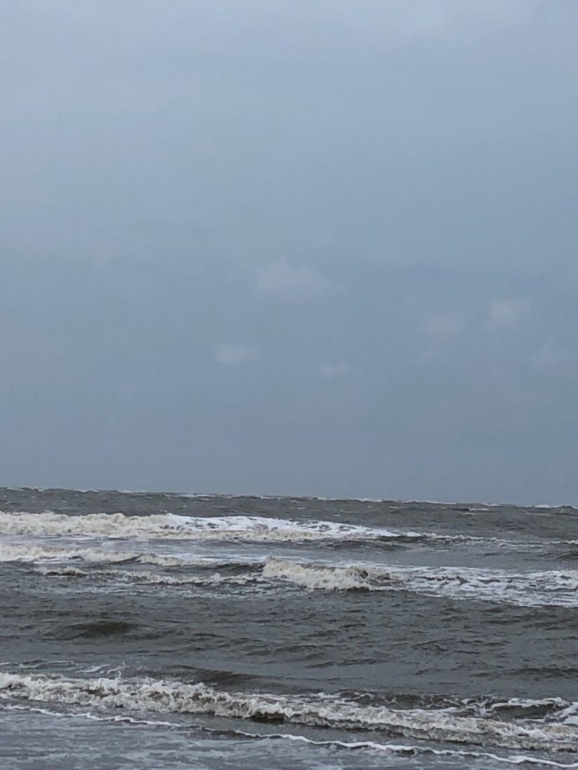
Then at sundown the city truly began to feel the effects of the storm. Overnight we had gusts up to seventy miles per hour, squalls slinging rain sideways, and power outages. Thankfully the predicted storm surge didn’t materialize, tamped down by offshore winds, but several areas of downtown flooded. As the sun rose, Charlestonians woke from a restless night to find the occasional fallen tree and many branches littering soggy yards. The wind still honking. At 8 a.m. the eye of Dorian was just sixty miles offshore of the city, but a collective sigh of relief could be heard across social media as the storm began tracking north.
The 8am advisory confirms a north-northeastward motion has begun. We can see the effects of this as winds have turned to be much more out of the north over the last few hours. Tropical storm conditions look to persist for several more hours, but there is an end in sight.
— Charleston Weather (@chswx) September 5, 2019
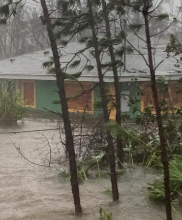
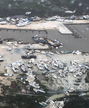
The wind will continue to blow into the afternoon, and certainly there will be more power outages and downed trees in the future, as well as one more high tide cycle around 2:00 p.m., but as those who have weathered these storms before know, tomorrow promises to be beautiful. For now, we’re hoping those north of us don’t feel the brunt of Dorian, and our thoughts are with those in the Bahamas. (To help click here.)

