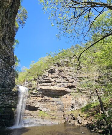
It used to be said that a squirrel could go from the Atlantic Ocean to the Mississippi River without ever touching the ground. Today, the Great Smoky Mountains National Park is one of the few places in the country left with forests that dense. Chartered in 1934, the park, which straddles the North Carolina-Tennessee border, covers roughly 522,419 acres and attracts more than ten million visitors each year. That’s two times as many as the Grand Canyon. So it can get plenty crowded, as anyone who’s ever sat in a twenty-car-deep traffic jam on the Cades Cove Loop can attest. But even in the high-summer months—this June stands as the busiest one on record—there are still places where you can enjoy the scenery in relative solitude. We asked the folks at the National Park Service to point us in the right direction—in other words, away from everyone else.
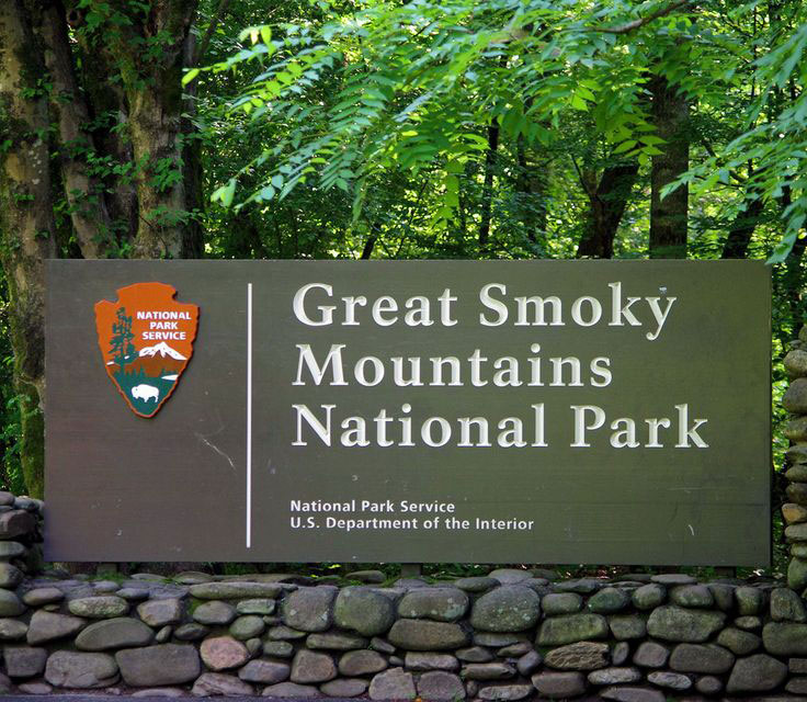
Photo: NPS
A welcome sign at Great Smoky Mountains National Park.
Cosby Campground, via Highway 321
A favorite with locals, Cosby is only twenty-two miles from Gatlinburg, but you’d never know it for the isolation. Much of the drive along Highway 321 borders the park, and there are a couple of excellent stops along the way—Greenbrier Campground (now open year-round) for its riverside picnic area and Albright Grove Loop trail, named for pioneering conservationist Horace Albright, where you can see some of the oldest and tallest trees in the Smokies. Once you arrive in Cosby, the out-of-the-way campground is hardly ever full and serves as an easy jumping-off point for several easy-to-moderate hikes, like Hen Wallow Falls, where the terrain passes through a lush forest of hemlocks, poplars, and rhododendron thickets. Experienced outdoorsmen and -women can trek all the way up to Mount Cammerer Fire Tower; it’s 11.1 miles round-trip with 3,045 feet in elevation gain, but the views are worth every ounce of sweat equity.

Balsam Mountain Road via Heintooga Ridge Road
You have to be looking for this seasonal backcountry route on the North Carolina side of the park—it isn’t something you’ll simply stumble upon. You can pick up the path near the southern entrance to the park, just north of Cherokee. There’s only a small picnic area and an overlook when you reach the top, but the view, one of the best in the Smokies, needs no dressing up. Feeling adventurous? If you’re not hauling a trailer or cruising in an RV, you can continue on to the rugged Heintooga Round-Bottom Road. The narrow, gravel stretch is one-way and winds for fourteen miles through the pristine mountain landscape.
Lake View Drive
Leaving Bryson City, North Carolina, head northwest on Everett Street, which eventually turns into Fontana Road or Lake View Drive—colloquially, the Road to Nowhere. This sleepy eight-mile stretch winds its way through some beautiful country with views of Fontana Lake before it dead-ends at a tunnel inside the park. Following the formation of Fontana Lake in the 1930s, the road began as the fulfillment of a promise by the federal government to the citizens of Swain County, who were displaced by the lake’s creation. Environmental issues halted its progress and construction never resumed. Though the road ends, if you want to continue on foot, there are several easily accessible trails. Note: Extensive road construction is expected to begin in late July or early August 2023, and Lake View Drive will be closed for a few months.
Rich Mountain Road
One of the park’s loveliest and most remote drives, Rich Mountain Road is a one-way, eight-mile stretch that leaves the park from the extremely popular (read: often traffic-choked) Cades Cove Loop. It’s an ideal spot come fall as the leaves turn brilliant shades of red, orange, and yellow, but the quiet woodsy route is beautiful any time of year. Park officials recommend four-wheel drive if you want to tackle this rustic tract.
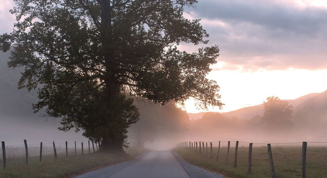
Photo: Courtesy of Bob Carr/NPS
Cades Cove Loop Road.
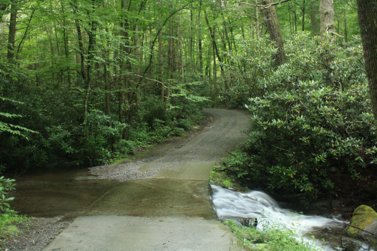
Parsons Branch Road
This meandering valley drive, which can also be accessed near Cades Cove, is open seasonally. Originally constructed in 1838, the historic roadway reopened in 2022 following a six-year closure. With eighteen creek fords, you’ll want four-wheel drive on this one-way, dirt road too. It takes about an hour to traverse its nearly ten miles, and there’s a good chance you’ll have it to yourself for the duration.
Courtesy of GoSmokies.Knoxnews.com