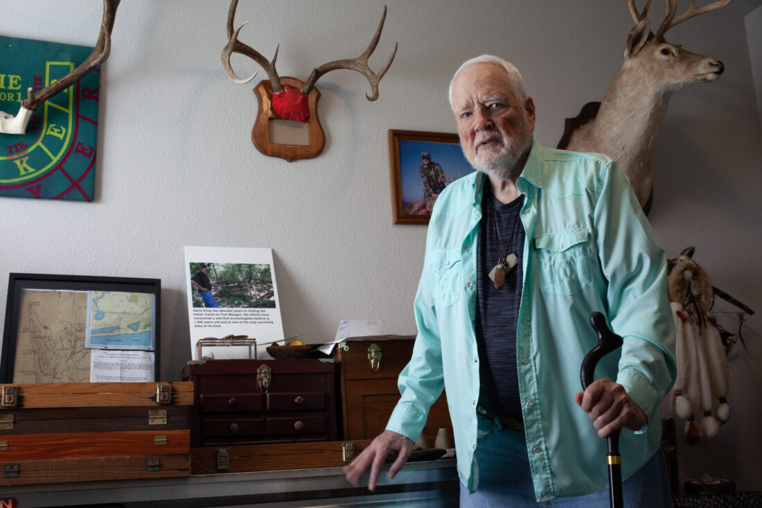
When Harry King moved to Gulf Shores, Alabama, in 1992, he started hearing about something called “Indian ditch.” Area old-timers told of an ancient canal dug by Indigenous people long before settlers arrived. King grew up in Andalusia, Alabama, excavating arrowheads and pottery sherds; the collection he’d amassed over the course of his life took up whole rooms in his house. His interest was piqued.
The problem was, no one could show him the canal’s location. Then, one day, he was kayaking in the shallows around town, looking for it, when a woman started hollering at him for trespassing. He apologized and, just in case, asked if she knew about “Indian ditch.” Oh, she said, and walked him right to it. She told King she’d grown up in a house nearby and played in it as a child.
It turned out to be a swampy depression some thirty feet wide, cut off by a two-lane road on one side and, on the other, draining into Little Lagoon, a smudge of water separated from the Gulf of Mexico by a sandbar. As King explored, he found another canal segment, this one more inland. King is a retired real estate developer, not a trained scientist, so he started bugging Gregory Waselkov, then an archaeologist at the University of South Alabama, to come see the spot. For years, Waselkov brushed him off.
“I really kind of discounted it for a long time because there are so few [transportation canals] and nobody’s ever heard of anything like that in Alabama,” Waselkov says. “But Harry’s so persistent.”
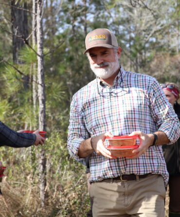
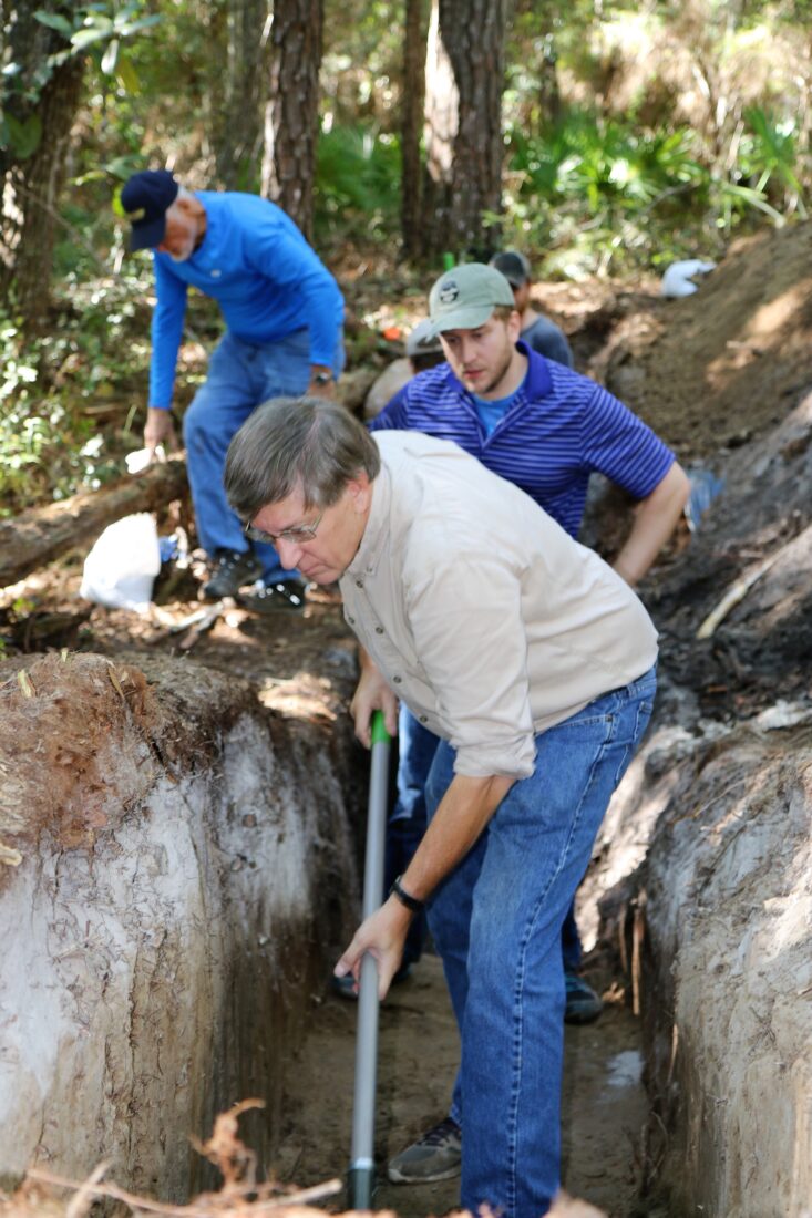
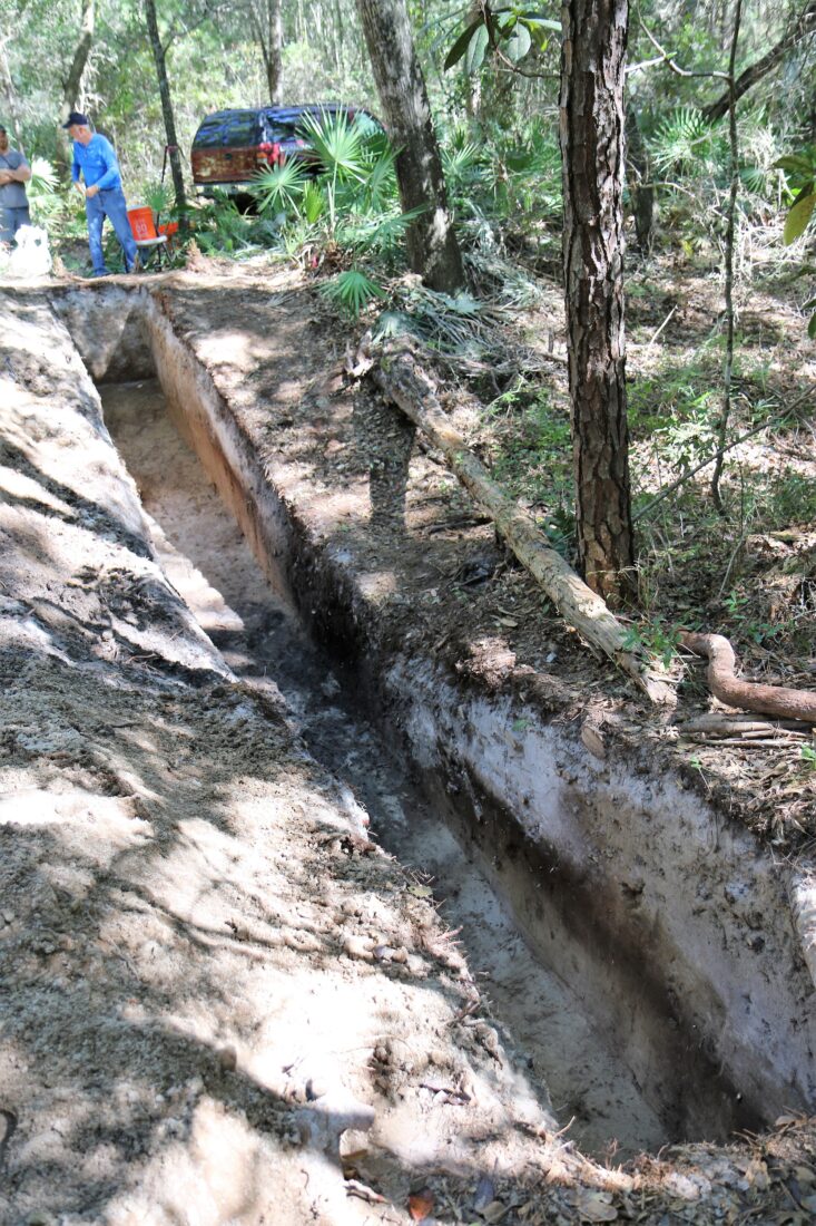
It only took one look once Waselkov finally visited the site, in 2017, to know it was something special. “The canal really blew me away,” Waselkov says. He and King dug a small trench and found charcoal, and Waselkov sent it off for radiocarbon dating. The date came back at around 600 A.D. The pair organized volunteer work days and, over a couple of years, completed a study of the two visible canal remnants.
They discovered a complex structure beyond what they could have imagined. The original canal is estimated to have been nearly 1.5 kilometers long, running between Little Lagoon and Oyster Bay. Researchers don’t attribute it to one particular tribe ,but evidence suggests it was used seasonally for transportation and trade, and connected the Gulf to the rest of the Southeast through inland rivers and bays. Crucially, it allowed people to travel by dugout canoe to rich fishing spots in Little Lagoon and the Gulf in safe waters, avoiding some ten miles of circumnavigation around the Fort Morgan peninsula in the dangerous conditions of the Gulf. The team also excavated two hillocks at the canal’s end that were full of fish bones and shellfish remnants from the same time period. People processed their catch at campsites by the canal before hopping in their canoes to head back inland.
Only the seventh ancient canoe canal in the country known to researchers (the others are in Florida), it is preserved on the hurricane-prone coast, in part, by soils that are resistant to erosion. Waselkov hopes his team’s novel approach to dating the Gulf Shores canal—using sediment from the berm rather than from the canal bed, as was done with the six Florida canals—will give researchers a new option for determining the age of known and previously unstudied sites. He also hopes its location, the first outside Florida, will make archaeologists more open than he initially was to taking similar land features around the Southeast seriously. There’s still a lot to learn.
Waselkov says the canal’s construction is notable because Indigenous societies in the area at that time are thought to have been egalitarian. “You didn’t have chiefs,” Waselkov says, “and yet, they somehow managed to get big workforces together and plan these kinds of big projects without any kind of hierarchy to order people around.”
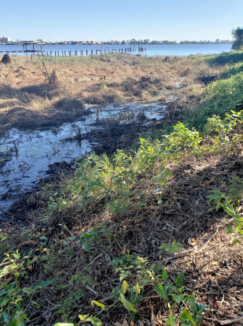
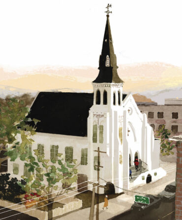
The land around the canal’s terminus has been donated to the Archaeological Conservancy for preservation, and there are plans to install interpretive markers. For now, visitors can explore the marshy green on foot if they can find it off Fort Morgan Road, between the Lagoon Baptist and St. Andrew by the Sea churches. There’s a sign with Harry King’s phone number on it and if you call it, he’ll tell you everything he knows about the canal, which is a lot. Standing at its boggy edge, he says it has made him appreciate the history of where he lives.
“I loved it before,” King says, “and now I double love it.”